|
|
|
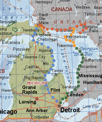 |
On Tuesday
we crossed the Bluewater Bridge at Port Huron and drove, with
several stops, to Tobermorey. Wednesday we took the ferry to Manitoulin Is. and spent the day exploring. Thursday we drove to Killarney on the northeast shore of Georgian Bay. Night in Sault Ste Marie. Friday, stormy, we crossed back into Michigan and drove down the western shore of Lake Huron. |
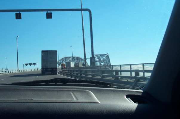 |
Approaching the Bluewater Bridge, Port Huron-Sarnia. The weather was beautiful! |
 |
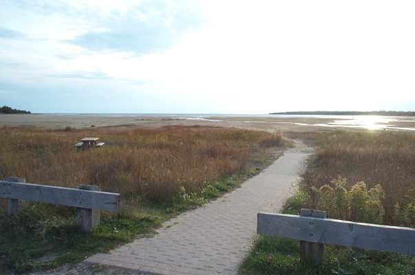
We stopped at Ipperwash Provincial Park for a look at the beach. |
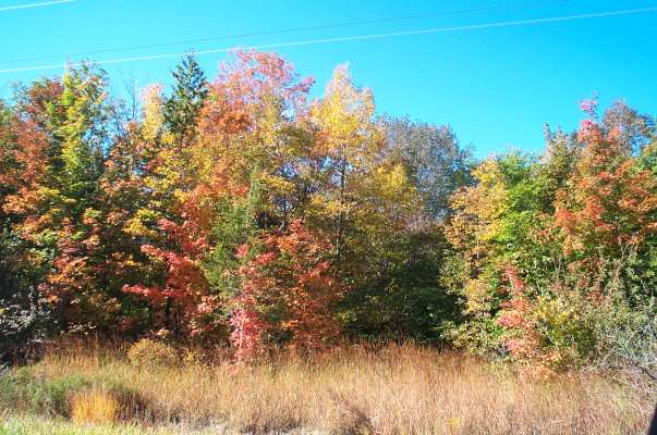 |
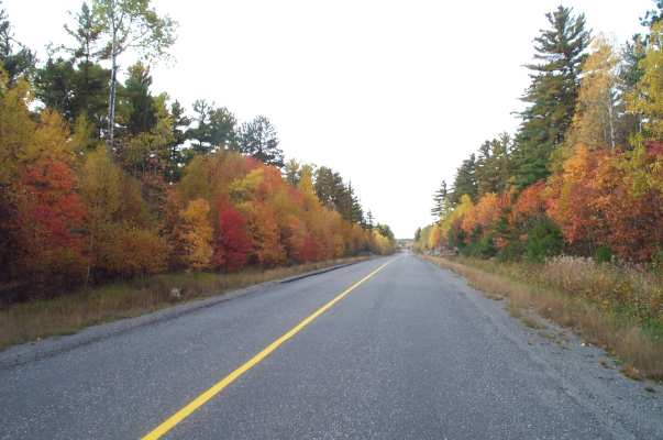
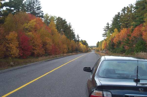
Great fall colors on the Bruce Peninsula |
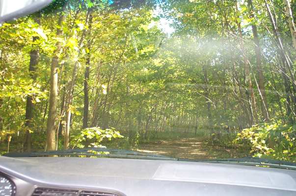 |
I wanted to follow a side road to "Scenic Caves" on Georgian Bay, but I think this was the wrong road! It went from a 2-track to a mud hole and at that point we gave up. |
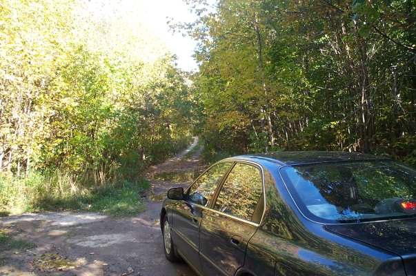 |
Dick managed the trick of turning the car around in this wide spot. |
 |
We followed a better road along Whippoorwill Bay and found a spot to pull over and look at Georgian Bay. |
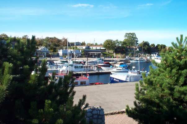 |
Little Tub Harbour in Tobermory, taken from the Sweet Shop. |
 |
We went to watch the sun go down over Dorcas Bay, on the west side of the Peninsula. We saw a couple of young people go in swimming briefly--brrr! And there was a fine sundog (parhelion). |
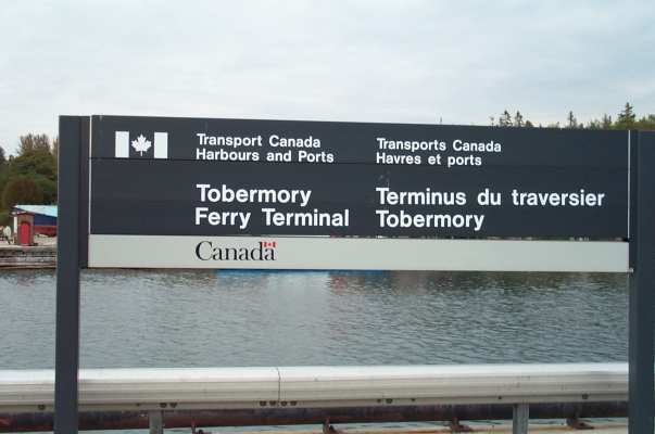 |
Early Wednesday morning we got in line for the Chi-Cheemaun ferry to Manitoulin Island. |
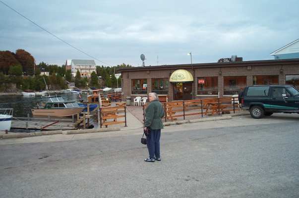 |
There was enough time between checking in and boarding for us to have some breakfast at the Ferry Dock Restaurant. |
 |
The Chi-Cheemaun car ferry, the latest in a long line of boats to Manitoulin Island. |
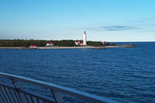 |
The Cove Island Lighthouse, very photogenic and only accessible by boat. Cove Island is part of the Fathom Five National Marine Park, a sort of underwater museum for wreck diving enthusiasts. |
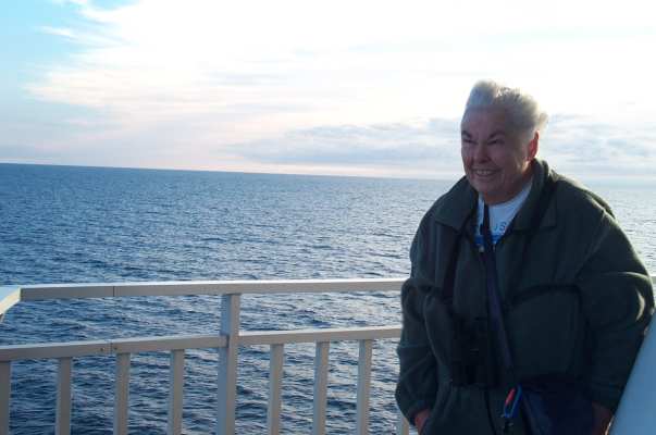 |
This was another brilliantly sunny day. A couple of Common Loons flew across the ferry's path early in the two-and-a-half hour ride. We braved the strong wind at the bow for a while. |
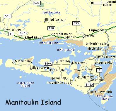 |
The ferry lands at South Baymouth. We drove to Providence Bay, then up to Gore Bay and through West Bay to Little Current. |
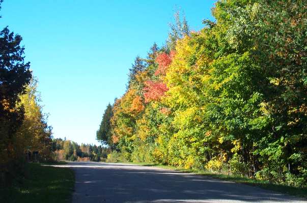 |
One of many stretches of road on Manitoulin with gloriously colored aspens and sugar maples...and very little traffic. |
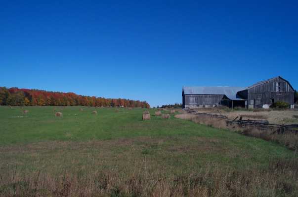 |
The interior of the island has many farms with cow and sheep pastures, hay fields and old barns. |
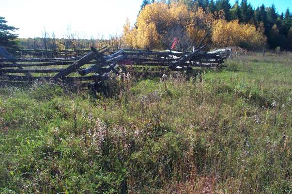 |
One of many miles of split-rail fencing on Manitoulin. |
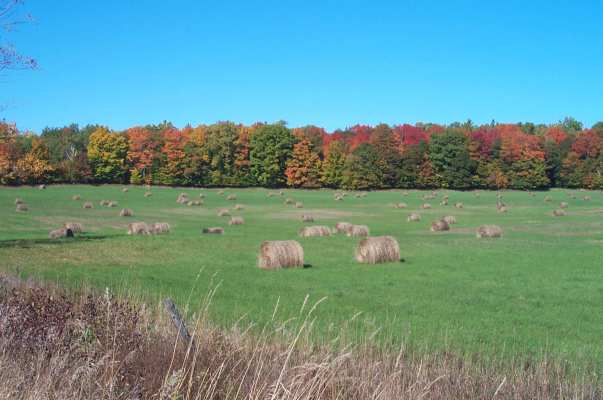 |
Hay bales and woodland. |
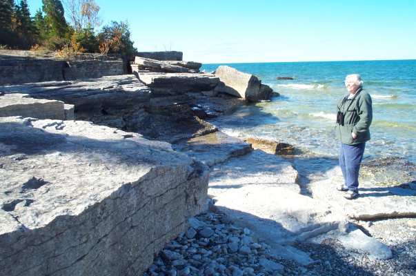 |
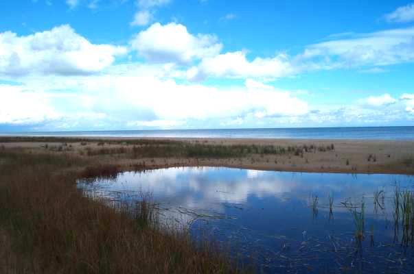
From the ferry landing at South Baymouth we drove W to Povidence: a beautiful bay with a long sand beach, flanked by a marina on a headland with great slabs of flat limestone and glacial pavement (reminds me of visiting Manitoulin at about 5 with my family) |
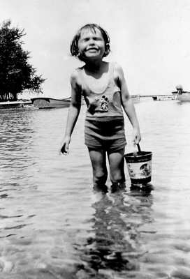 |
Here's a picture of me in my Mickey Mouse bathing suit, standing on a similar beach. My memory and family lore tell me that someone put my suit on a rock to dry and it disappeared overnight. To console me, they told me a big fish took it. |
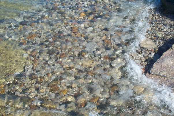 |
I like Dick's photo
of pebbles in the water at Providence Bay...but I have nothing more to
say about it.
We saw our first-ever Water Pipits here, a couple of small flocks feeding on their way south for the winter. |
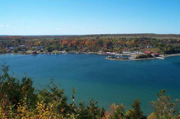 |
We got a tremendous view of the town of Gore Bay from the East Bluff, and enjoyed seeing a group of Ravens playing on the updrafts below us. |
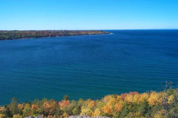 |
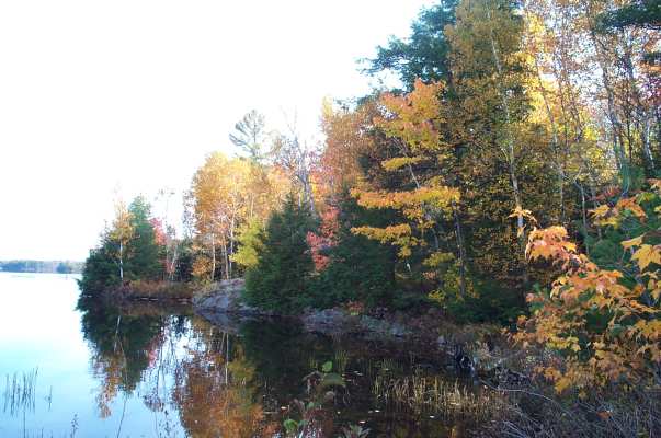
Blue skies, bluer water and glowing red and gold leaves...a real color tour. Mainland Ontario lies across the North Channel from here. |
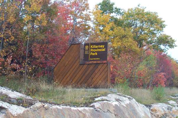 |
We spent Wednesday night in Espanola. Thursday morning was still fine, but the clouds moved in around mid-afternoon. We drove down another road through lonely country to Killarney Provincial Park and the end of the road in the town of Killarney. |
 |
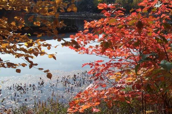
The colors of the leaves still glow, even against an overcast sky. This area has a lot of white pines, spruces and hemlocks, providing a green backdrop for the oaks, maples and aspens. |
 |
We stopped at Tyson Lake picnic area, the only free stopping place along the 40 miles to Killarney. These tall old white pines are on an islet. |
 |
Getting out of the car at the picnic area, we stepped into a mass migration of Ruby-crowned Kinglets--at least 50 of them in the trees bordering the path! There were also a couple of warblers, but they weren't easy to identify in fall plumage. |
 |
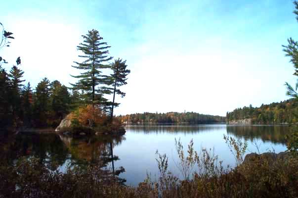
This is a lovely, tranquil small lake--there's a cottage settlement on the other side, but no town. |
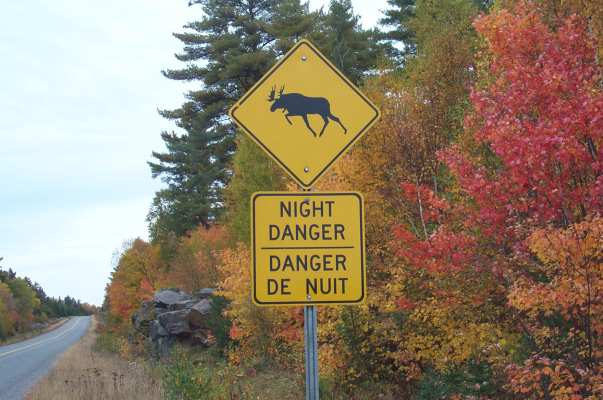 |
We kept hoping to see a moose, but no luck. |
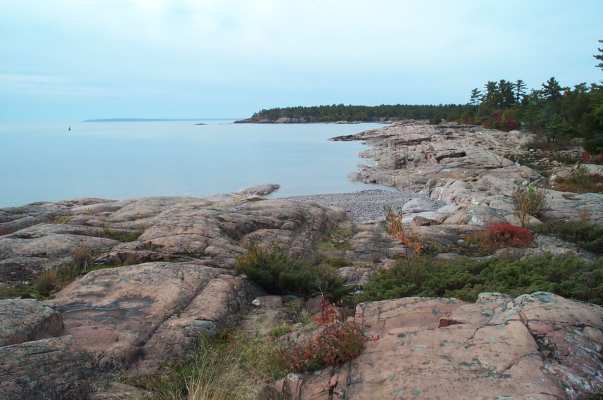 |
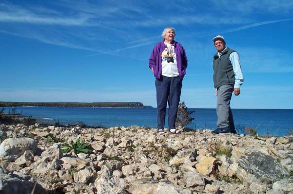
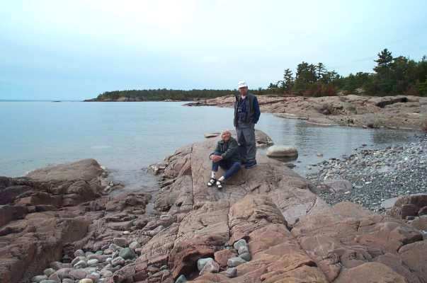
The village of Killarney doesn't seem to have any public parking or views: it caters to boaters in summer and snowmobilers in winter. But we managed to park at this smashing beach along the road to a lighthouse (not public). Killarney is known for these pink rocks and views of the Cloche Mts. |
 |
This looks a little like the coast of Maine or Nova Scotia, but instead of tide pools there are rainwater pools |
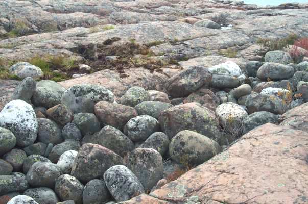 |
Imagine the fury of
the storms that tossed these boulders up onto the rocks.
This is not very far from where waves tore the 700ft long Edmond Fitzgerald in half. |
 |
We had all of this autumnal glory to ourselves. |
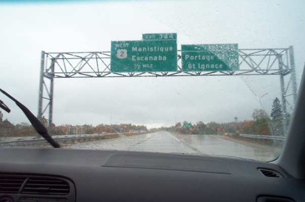 |
The U.P. in the rain |
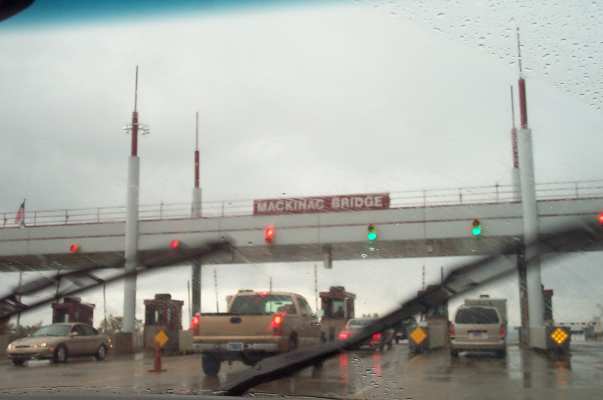 |
The weather turned poor on Friday about the time we headed for the Mackinac Bridge. |
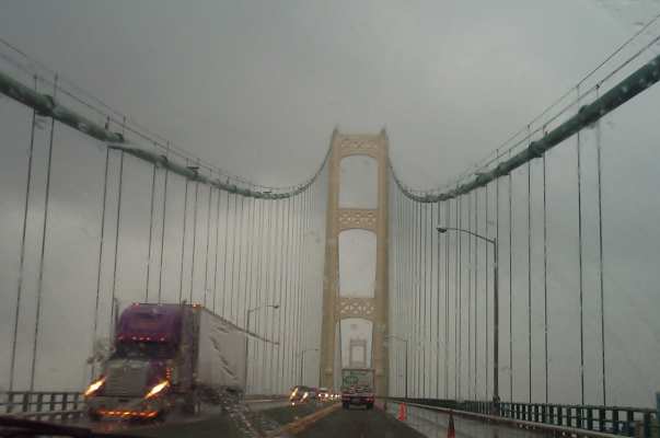 |
The Big Mac |
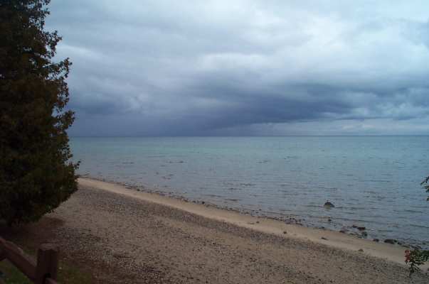 |
Instead of fighting the tractor-trailers on I-75, we followed Lake Huron's western shoreline on US 23, through Rogers City, Alpena and Tawas. We stopped at several highway rest areas during brief breaks in the showers. |
 |
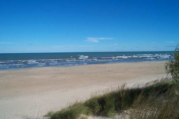
A Michigan beach on Lake Huron. |
 |
The end. |